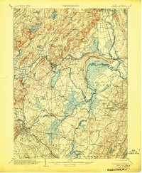
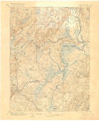
1906 Map of Morristown
USGS Topo · Published 1906About this map
Boonton and its surrounding iron-rich highlands anchor this 1906 study of northern New Jersey, where the Morris Canal and the Morris Canal Feeder illustrate the intricate water management required for early industrial transport. The map details a landscape transitioning from the rugged mining terrain near Hibernia and Copperas Mtn to the low-lying wetlands of the Great Piece Meadows and Hatfield Swamp. This era captures the dense network of the Delaware Lackawanna and Western Railroad as it connects established townships like Morristown and Florham Park. Along the Passaic and Whippany River, numerous river crossings such as Cooks Bridge and Swinefield Bridge suggest the local transit patterns of the day, while family-named settlements like Lyonsville and Taylortown provide valuable data for genealogists tracing ancestral homesteads in Morris and Passaic Counties.
Find a feature on this map
113 named features on this map. Tap any name to fly to it.
Don’t see what you’re looking for? This feature index may not catch every label — zoom into the map to look around manually.
Map Details
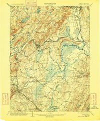
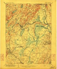
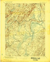
Editions of this 1906 Morristown Map
6 editions found

Other maps of this area

1888 · Franklin
USGS Topo · 1:62,500

1888 · Plainfield
USGS Topo · 1:62,500

1888 · Morristown
USGS Topo · 1:62,500

1888 · Lake Hopatcong
USGS Topo · 1:62,500

1888 · Paterson
USGS Topo · 1:62,500

1891 · Somerville
USGS Topo · 1:62,500

1891 · Greenwood Lake
USGS Topo · 1:62,500

1891 · Ramapo
USGS Topo · 1:62,500

1892 · Paterson
USGS Topo · 1:62,500

1893 · Plainfield
USGS Topo · 1:62,500