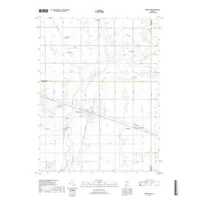
2019 Map of Morristown
USGS Topo · Published 2019About this map
The Big Blue River snakes across this Central Indiana landscape, anchoring a rural corridor defined by its drainage basins and historic road grid. Morristown stands as the primary hub, where W Main St and E Main St transition into the wider transportation network connecting Freeport to the west and Gwynneville to the southeast. The terrain features the distinctive Hog Back rise, while the agricultural character is further detailed by numerous watercourses like Prairie Run, Nameless Cr, and Cotton Run.
Find a feature on this map
62 named features on this map. Tap any name to fly to it.
Don’t see what you’re looking for? This feature index may not catch every label — zoom into the map to look around manually.
Map Details
Editions of this 2019 Morristown Map
This is the sole edition of this map. No revisions or reprints were ever made.
Other maps of this area

1952 · Greenfield
USGS Topo · 1:24,000

1952 · Fountaintown
USGS Topo · 1:24,000

1953 · Shelbyville
USGS Topo · 1:24,000

1953 · Cincinnati
USGS Topo · 1:250,000

1956 · Cleveland
USGS Topo · 1:24,000

1956 · Morristown
USGS Topo · 1:24,000

1956 · Rays Crossing
USGS Topo · 1:24,000

1957 · Cincinnati
USGS Topo · 1:250,000
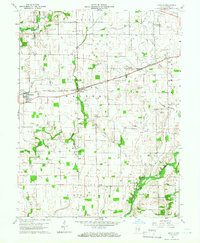
1960 · Manilla
USGS Topo · 1:24,000
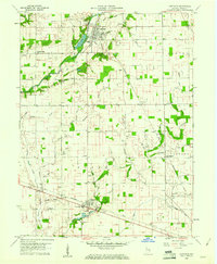
1960 · Carthage
USGS Topo · 1:24,000