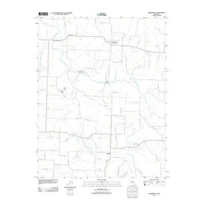
2011 Map of Morrisville
USGS Topo · Published 2011About this map
Morrisville serves as the central hub of this Polk County landscape, situated at the junction of several rural routes including E Elm St and S 111th Rd. The area is defined by the winding course of the Little Sac River, which creates distinctive geographical points such as the West Bend oxbow. The river is crossed by key infrastructure like the Hamilton Bridge and South Bridge, facilitating travel between the farming communities. To the south, the settlement of Sacville sits near the confluence of Asher Creek and the river, marking a traditional rural crossing point.
Find a feature on this map
65 named features on this map. Tap any name to fly to it.
Don’t see what you’re looking for? This feature index may not catch every label — zoom into the map to look around manually.
Map Details
Editions of this 2011 Morrisville Map
This is the sole edition of this map. No revisions or reprints were ever made.
Other maps of this area

1884 · Springfield
USGS Topo · 1:125,000

1884 · Bolivar
USGS Topo · 1:125,000

1886 · Stockton
USGS Topo · 1:125,000

1886 · Greenfield
USGS Topo · 1:125,000

1886 · Springfield
USGS Topo · 1:125,000

1888 · Greenfield
USGS Topo · 1:125,000

1892 · Bolivar
USGS Topo · 1:125,000

1948 · Willard
USGS Topo · 1:24,000

1948 · Ebenezer
USGS Topo · 1:24,000

1954 · Springfield
USGS Topo · 1:250,000