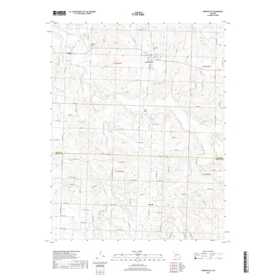
2017 Map of Morrisville
USGS Topo · Published 2017About this map
The Little Sac River defines the drainage of this Polk and Greene County landscape, winding northward past the community of Morrisville. This survey shows the town’s established street grid, including W Elm St and S Main Ave, alongside the Morrisville Cem. The terrain is characterized by dissected uplands and named heights such as Grisham Knob, with several small tributaries like Tinkle Br and Asher Cr feeding into the main river system.
Find a feature on this map
86 named features on this map. Tap any name to fly to it.
Don’t see what you’re looking for? This feature index may not catch every label — zoom into the map to look around manually.
Map Details
Editions of this 2017 Morrisville Map
This is the sole edition of this map. No revisions or reprints were ever made.
Other maps of this area

1884 · Springfield
USGS Topo · 1:125,000

1884 · Bolivar
USGS Topo · 1:125,000

1886 · Stockton
USGS Topo · 1:125,000

1886 · Greenfield
USGS Topo · 1:125,000

1886 · Springfield
USGS Topo · 1:125,000

1888 · Greenfield
USGS Topo · 1:125,000

1892 · Bolivar
USGS Topo · 1:125,000

1948 · Willard
USGS Topo · 1:24,000

1948 · Ebenezer
USGS Topo · 1:24,000

1954 · Springfield
USGS Topo · 1:250,000