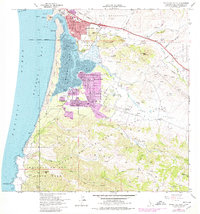
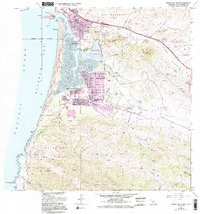
1965 Map of Morro Bay South
USGS Topo · Published 1979About this map
Morro Rock stands as a sentinel at the harbor entrance, anchoring a Central Coast landscape that underwent significant residential expansion during the 1960s and 1970s. While the northern edge is dominated by the town of Morro Bay, the southern reach of the bay reveals the distinct coastal enclaves of Baywood Park and Cuesta-by-the-Sea. These communities are framed by extensive mudflats and the protected lands of Morro Bay State Park. To the south, the terrain rises into the Irish Hills, where Montana de Oro State Park preserves the wild shoreline around Point Buchon.
Find a feature on this map
42 named features on this map. Tap any name to fly to it.
Don’t see what you’re looking for? This feature index may not catch every label — zoom into the map to look around manually.
Map Details
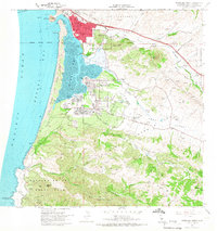
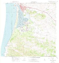
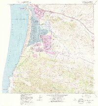
Editions of this 1965 Morro Bay South Map
5 editions found
Other maps of this area

1897 · Port Harford
USGS Topo · 1:62,500

1897 · San Luis Obispo
USGS Topo · 1:62,500

1897 · Cayucos
USGS Topo · 1:62,500

1897 · Arroyo Grande
USGS Topo · 1:62,500

1900 · San Luis
USGS Topo · 1:125,000

1937 · Cayucos
USGS Topo · 1:62,500

1941 · Port San Luis
USGS Topo · 1:62,500

1942 · San Luis Obispo
USGS Topo · 1:62,500

1942 · Arroyo Grande
USGS Topo · 1:62,500

1943 · Cayucos
USGS Topo · 1:62,500