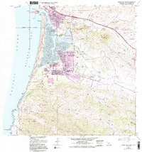
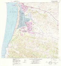
1965 Map of Morro Bay South
USGS Topo · Published 1994About this map
Morro Rock stands as a massive volcanic sentinel at the mouth of Morro Bay, anchoring a coastal landscape where development and conservation converged in the mid-20th century. While the town of Morro Bay expanded at the north, residential pockets like Baywood Park and Cuesta-by-the-Sea emerged along the southern tidal flats of the Morro Estuary Natural Preserve. The map reveals a transition from these early coastal communities to the extensive open spaces of Montana de Oro State Park and the Irish Hills. Genealogy researchers will find localized landmarks such as the Quintana Cemetery and Los Osos Valley Memorial Park, alongside civic institutions like the Sunnyside Sch. The interior topography is defined by the Los Osos Valley and the sharp rise of Hollister Peak, illustrating the area's mix of marshland, volcanic peaks, and growing suburban footprints.
Find a feature on this map
58 named features on this map. Tap any name to fly to it.
Don’t see what you’re looking for? This feature index may not catch every label — zoom into the map to look around manually.
Map Details
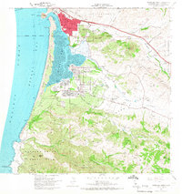
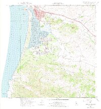
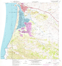
Editions of this 1965 Morro Bay South Map
5 editions found
Other maps of this area

1897 · Port Harford
USGS Topo · 1:62,500

1897 · San Luis Obispo
USGS Topo · 1:62,500

1897 · Cayucos
USGS Topo · 1:62,500

1897 · Arroyo Grande
USGS Topo · 1:62,500

1900 · San Luis
USGS Topo · 1:125,000

1937 · Cayucos
USGS Topo · 1:62,500

1941 · Port San Luis
USGS Topo · 1:62,500

1942 · San Luis Obispo
USGS Topo · 1:62,500

1942 · Arroyo Grande
USGS Topo · 1:62,500

1943 · Cayucos
USGS Topo · 1:62,500