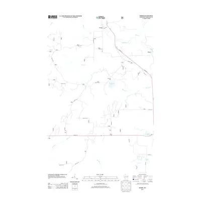
2013 Map of Morse
USGS Topo · Published 2013About this map
The Bad River and Moose River define the hydrography of this northern Wisconsin landscape, where the settlements of Cayuga and Morse anchor the local road network. The area is characterized by a dense system of forest roads, including Forest Rd 181 and Forest Rd 1335, which navigate the complex drainage basins of Brush Cr and Spillerberg Cr. Notable water bodies such as Spillerberg Lake, Torrey Lake, and Seagels Lake are scattered throughout the quadrangle, reflecting the glaciated terrain of Ashland County. Small crossroads like Popcorn Corners at the junction of State Hwy 77 provide local reference points for researchers. This 2013 survey illustrates the modern state of timber access and conservation lands, tracing the paths of numerous named creeks like Muskellunge Cr and Dryden Cr through the north woods.
Find a feature on this map
63 named features on this map. Tap any name to fly to it.
Don’t see what you’re looking for? This feature index may not catch every label — zoom into the map to look around manually.
Map Details
Editions of this 2013 Morse Map
This is the sole edition of this map. No revisions or reprints were ever made.
Other maps of this area

1942 · Glidden
USGS Topo · 1:48,000

1942 · Clam Lake
USGS Topo · 1:48,000

1942 · Mellen
USGS Topo · 1:48,000

1942 · Marengo
USGS Topo · 1:48,000

1945 · Marengo
USGS Topo · 1:48,000

1945 · Clam Lake
USGS Topo · 1:48,000

1945 · Glidden
USGS Topo · 1:48,000

1945 · Mellen
USGS Topo · 1:48,000

1953 · Ashland
USGS Topo · 1:250,000
1956 · Mt. Whittlesey
USGS Topo · 1:24,000