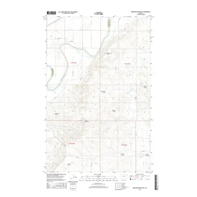
2017 Map of Mortarstone Bluff
USGS Topo · Published 2017About this map
The Missouri River cuts across this corner of Montana, defining the boundary between Roosevelt and Richland counties. The landscape is heavily marked by a complex system of dry washes and topographic landmarks, including Mortarstone Bluff and Haystack Butte. These features, along with names like Coalmine Coulee and Schoolhouse Coulee, suggest a history of resource extraction and early rural community infrastructure. Genealogists may find interest in the Fisher Cem located on the higher ground east of the river. The terrain is further dissected by numerous drainages such as Eagles Nest Coulee, Simons Coulee, and the long reach of W Charlie Cr. Transport in this part of the Brockton District is facilitated by a network of Bureau of Indian Affairs routes and county roads that navigate the breaks and basins.
Find a feature on this map
24 named features on this map. Tap any name to fly to it.
Don’t see what you’re looking for? This feature index may not catch every label — zoom into the map to look around manually.
Map Details
Editions of this 2017 Mortarstone Bluff Map
This is the sole edition of this map. No revisions or reprints were ever made.
Other maps of this area

1909 · Glendive
USGS Topo · 1:250,000

1912 · Poplar
USGS Topo · 1:62,500

1914 · Brockton
USGS Topo · 1:62,500

1950 · Calais
USGS Topo · 1:24,000

1954 · Glendive
USGS Topo · 1:250,000

1954 · Wolf Point
USGS Topo · 1:250,000

1957 · Glendive
USGS Topo · 1:250,000

1958 · Wolf Point
USGS Topo · 1:250,000

1958 · Glendive
USGS Topo · 1:250,000

1972 · Poplar NE
USGS Topo · 1:24,000