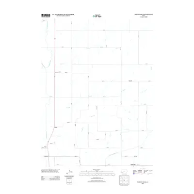
2013 Map of Morton Mills
USGS Topo · Published 2013About this map
Morton Mills sits along the W Nodaway River in this rural section of Adams County, where a grid of township roads defines the agricultural landscape. The area is characterized by several small community nodes and river crossings that have long served the surrounding farmsteads. To the south, the Middle Nodaway River cuts across the corner of the map near Dickieville, while the smaller drainages of Sin Cr and Fultons Cr carve subtle valleys through the fields. In addition to the primary settlement at Morton Mills, the map identifies several other established points of interest including Strand, Sciola, and Tenville. The presence of the Tenville Access suggests the importance of river management and public entry points to the local waterways, providing a clear view of how these small settlements and natural features structured life in southwest Iowa during the early 21st century.
Find a feature on this map
37 named features on this map. Tap any name to fly to it.
Don’t see what you’re looking for? This feature index may not catch every label — zoom into the map to look around manually.
Map Details
Editions of this 2013 Morton Mills Map
This is the sole edition of this map. No revisions or reprints were ever made.
Other maps of this area

1954 · Omaha
USGS Topo · 1:250,000

1955 · Nebraska City
USGS Topo · 1:250,000

1957 · Nebraska City
USGS Topo · 1:250,000

1957 · Omaha
USGS Topo · 1:250,000

1958 · Omaha
USGS Topo · 1:250,000

1958 · Nebraska City
USGS Topo · 1:250,000

1978 · Stanton
USGS Topo · 1:24,000

1978 · Wallin
USGS Topo · 1:24,000

1978 · Griswold NE
USGS Topo · 1:24,000

1980 · Grant
USGS Topo · 1:24,000