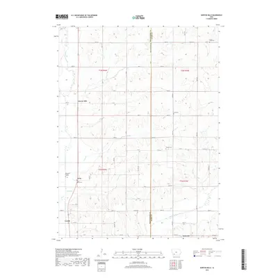
2018 Map of Morton Mills
USGS Topo · Published 2018About this map
West Nodaway River and Middle Nodaway River define the agricultural drainage of this corner of southwest Iowa. The landscape is marked by a high density of small family and community burial sites, which are often the most enduring markers of the early rural school districts and church parishes that once populated these townships. Scattered throughout the section lines are notable genealogical landmarks like the Bolt Family Burying Ground and the Lincoln Center Cem.
Find a feature on this map
47 named features on this map. Tap any name to fly to it.
Don’t see what you’re looking for? This feature index may not catch every label — zoom into the map to look around manually.
Map Details
Editions of this 2018 Morton Mills Map
This is the sole edition of this map. No revisions or reprints were ever made.
Other maps of this area

1954 · Omaha
USGS Topo · 1:250,000

1955 · Nebraska City
USGS Topo · 1:250,000

1957 · Nebraska City
USGS Topo · 1:250,000

1957 · Omaha
USGS Topo · 1:250,000

1958 · Omaha
USGS Topo · 1:250,000

1958 · Nebraska City
USGS Topo · 1:250,000

1978 · Stanton
USGS Topo · 1:24,000

1978 · Wallin
USGS Topo · 1:24,000

1978 · Griswold NE
USGS Topo · 1:24,000

1980 · Grant
USGS Topo · 1:24,000