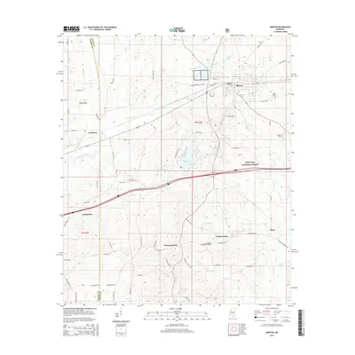
2015 Map of Morton
USGS Topo · Published 2015About this map
The town of Morton and the surrounding woodlands of the Bienville National Forest define this area of central Mississippi. Situated on the border of Rankin and Scott counties, the landscape is marked by a network of waterways including Pelahatchie Creek and the Strong River, which flow through a mix of timberland and rural settlements. To the south, smaller hubs like Kracker Station, Independence, and Stage are connected by country roads such as Line Creek Rd and Stage Rd. The presence of several family and community landmarks, such as East Morton Cem, Walker Cem, and Line Creek Cem, offers a detailed map for those tracing local lineages or the history of these small communities during the mid-2010s. Modern transportation corridors, specifically Interstate 20 and Highway 80, bisect the terrain, mirroring the paths of earlier thoroughfares like Old Hwy 80 W and Old US-80.
Find a feature on this map
73 named features on this map. Tap any name to fly to it.
Don’t see what you’re looking for? This feature index may not catch every label — zoom into the map to look around manually.
Map Details
Editions of this 2015 Morton Map
This is the sole edition of this map. No revisions or reprints were ever made.
Other maps of this area

1922 · Morton
USGS Topo · 1:48,000

1922 · Pelahatchee
USGS Topo · 1:48,000

1924 · Pelahatchee
USGS Topo · 1:62,500

1924 · Morton
USGS Topo · 1:62,500

1950 · Pelahatchie
USGS Topo · 1:62,500

1951 · Morton
USGS Topo · 1:62,500

1952 · Pelahatchie
USGS Topo · 1:62,500

1953 · Meridian
USGS Topo · 1:250,000

1957 · Meridian
USGS Topo · 1:250,000

1965 · Meridian
USGS Topo · 1:250,000