
1951 Map of Morton
USGS Topo · Published 1951About this map
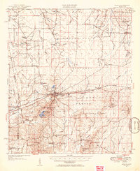
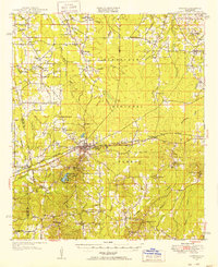
Morton serves as a central hub on this mid-century survey, situated along the Illinois Central railroad and the Wire Road. This era captures a landscape defined by its agricultural and transit corridors, including the Gas Pipe Line cutting across the eastern territory. The map clearly delineates the Choctaw Treaty Line, a significant historical boundary that continues to influence property and political divisions between Scott and Rankin counties.
Find a feature on this map
68 named features on this map. Tap any name to fly to it.
Don’t see what you’re looking for? This feature index may not catch every label — zoom into the map to look around manually.
Map Details
Editions of this 1951 Morton Map
3 editions found
Other maps of this area

1921 · Forest
USGS Topo · 1:48,000

1922 · Forest
USGS Topo · 1:62,500

1922 · Morton
USGS Topo · 1:48,000

1922 · Pelahatchee
USGS Topo · 1:48,000

1924 · Pelahatchee
USGS Topo · 1:62,500

1924 · Morton
USGS Topo · 1:62,500

1950 · Forest
USGS Topo · 1:62,500

1950 · Pelahatchie
USGS Topo · 1:62,500

1952 · Pelahatchie
USGS Topo · 1:62,500

1952 · Forest
USGS Topo · 1:62,500