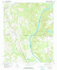
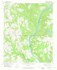
1971 Map of Morven East
USGS Topo · Published 1990About this map
The Pee Dee River carves a significant boundary through this landscape, dividing Anson and Richmond counties as it flows toward the South Carolina border. The rail-oriented settlements of Morven and McFarlan anchor the western portion of the map, situated along the Seaboard Coast Line Railroad. This corridor is dotted with local landmarks of genealogical importance, including Galilee Ch, Ramah Grove Ch, and the Pleasant Hill Cem.
Find a feature on this map
31 named features on this map. Tap any name to fly to it.
Don’t see what you’re looking for? This feature index may not catch every label — zoom into the map to look around manually.
Map Details
Editions of this 1971 Morven East Map
2 editions found
Other maps of this area

1941 · Spartanburg
USGS Topo · 1:250,000

1942 · Rockingham
USGS Topo · 1:125,000

1953 · Florence
USGS Topo · 1:250,000

1953 · Spartanburg
USGS Topo · 1:250,000

1954 · Florence
USGS Topo · 1:250,000
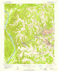
1956 · Rockingham
USGS Topo · 1:24,000
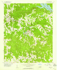
1956 · Lilesville
USGS Topo · 1:24,000

1956 · Wadesboro
USGS Topo · 1:24,000

1960 · Spartanburg
USGS Topo · 1:250,000

1963 · Spartanburg
USGS Topo · 1:250,000