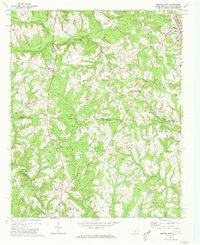
1971 Map of Morven West
USGS Topo · Published 1973About this map
The town of Morven sits at the northeastern corner of this 1971 survey, serving as a focal point for a landscape defined by small rural communities and the Seaboard Coast Line railroad. Straddling the North Carolina-South Carolina border, this area in Anson and Chesterfield counties is characterized by a high density of country churches, including New Hope Ch, Oak Grove Ch, and Streater Grove Ch. These religious centers, often paired with community burial grounds like Mt Level Ch Cem, indicate a deeply rooted agricultural social structure.
Find a feature on this map
25 named features on this map. Tap any name to fly to it.
Don’t see what you’re looking for? This feature index may not catch every label — zoom into the map to look around manually.
Map Details
Editions of this 1971 Morven West Map
2 editions found
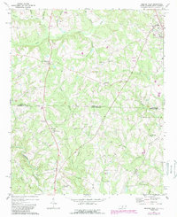
Other maps of this area

1941 · Spartanburg
USGS Topo · 1:250,000

1942 · Rockingham
USGS Topo · 1:125,000

1953 · Florence
USGS Topo · 1:250,000

1953 · Spartanburg
USGS Topo · 1:250,000

1954 · Florence
USGS Topo · 1:250,000
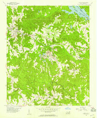
1956 · Lilesville
USGS Topo · 1:24,000

1956 · Wadesboro
USGS Topo · 1:24,000

1960 · Spartanburg
USGS Topo · 1:250,000

1963 · Spartanburg
USGS Topo · 1:250,000

1964 · Spartanburg
USGS Topo · 1:250,000