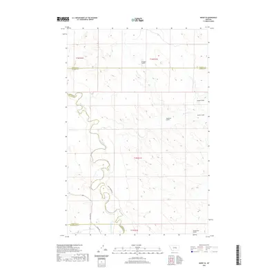
2020 Map of Mosby SE
USGS Topo · Published 2020About this map
The Musselshell River meanders through this portion of central Montana, cutting a deep valley through the dry uplands at the intersection of Rosebud, Garfield, Petroleum, and Musselshell counties. The landscape is defined by the ranching economy, with family-named operations such as Hill Ranch, Dutton Ranch, Maxwell Ranch, and Kincheloe Ranch spread across the drainage. Local transit is facilitated by unpaved routes like Melstone Rd and Wendel Kincheloe Rd, which provide access to the river bottomlands. Numerous coulees, including Nineteen Coulee and Youderian Coulee, drain the high ground toward the river, illustrating the erosion patterns characteristic of this part of the plains. Water management for agriculture is evident in the Delphia Melstone Ditch, which follows the southern banks of the river, while natural features like Rattlesnake Cr emphasize the seasonal waterways of the region.
Find a feature on this map
29 named features on this map. Tap any name to fly to it.
Don’t see what you’re looking for? This feature index may not catch every label — zoom into the map to look around manually.
Map Details
Editions of this 2020 Mosby SE Map
This is the sole edition of this map. No revisions or reprints were ever made.
Other maps of this area

1954 · Forsyth
USGS Topo · 1:250,000

1957 · Forsyth
USGS Topo · 1:250,000

1958 · Forsyth
USGS Topo · 1:250,000

1962 · Mosby
USGS Topo · 1:24,000

1962 · Melstone NE
USGS Topo · 1:24,000

1962 · Maxwell Ranch
USGS Topo · 1:24,000

1962 · Melstone NW
USGS Topo · 1:24,000

1962 · Kincheloe Ranch
USGS Topo · 1:24,000

1962 · Mosby SE
USGS Topo · 1:24,000

1962 · Grebe Ranch
USGS Topo · 1:24,000