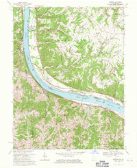
1968 Map of Moscow
USGS Topo · Published 1971About this map
The Ohio River dominates this mid-century survey, acting as both a natural border and a vital industrial artery between Ohio and Kentucky. Along its northern bank, the settlements of Moscow, Neville, and Chilo follow the shoreline, while the massive Capt Anthony Meldahl Lock and Dam indicates the era's significant investment in river navigation. On the Kentucky side, the Chesapeake + Ohio railroad tracks hug the riverbank, passing through riverside communities like Carntown and Willow Grove.
Find a feature on this map
63 named features on this map. Tap any name to fly to it.
Don’t see what you’re looking for? This feature index may not catch every label — zoom into the map to look around manually.
Map Details
Editions of this 1968 Moscow Map
2 editions found
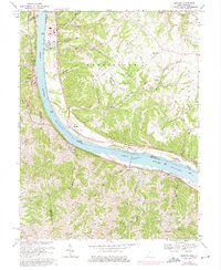
Other maps of this area

1929 · Alexandria
USGS Topo · 1:48,000

1930 · Falmouth
USGS Topo · 1:48,000

1931 · Felicity
USGS Topo · 1:62,500

1936 · Alexandria
USGS Topo · 1:62,500

1936 · Falmouth
USGS Topo · 1:62,500

1952 · Berlin
USGS Topo · 1:24,000

1952 · Brooksville
USGS Topo · 1:24,000

1953 · Laurel
USGS Topo · 1:24,000

1953 · Bethel
USGS Topo · 1:24,000

1953 · Butler
USGS Topo · 1:24,000