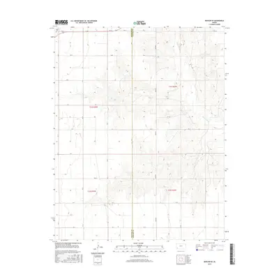
2015 Map of Moscow SE
USGS Topo · Published 2015About this map
The high plains of southwest Kansas are defined here by the winding course of the Cimarron River, which cuts through the eastern half of this 2015 survey. The landscape is dominated by the vast, rectilinear township and range system, reflected in a grid of section-line roads such as Rd 25, AA Rd, and Rd 20. Near the northwestern corner of the map, the Dea Cem stands as a small but significant landmark for genealogical research along Rd CC. The border between Stevens Co and Seward Co bisects the map vertically, following the path of A Rd. Notable local markers like Marteney and 23 Mile Rd reflect the enduring rural infrastructure of this agricultural region, where the terrain is punctuated by subtle contours and occasional drainage draws leading toward the river valley.
Find a feature on this map
29 named features on this map. Tap any name to fly to it.
Don’t see what you’re looking for? This feature index may not catch every label — zoom into the map to look around manually.
Map Details
Editions of this 2015 Moscow SE Map
This is the sole edition of this map. No revisions or reprints were ever made.
Other maps of this area

1944 · Moscow
USGS Topo · 1:62,500

1945 · Moscow
USGS Topo · 1:62,500

1955 · Dodge City
USGS Topo · 1:250,000

1958 · Dodge City
USGS Topo · 1:250,000

1959 · Dodge City
USGS Topo · 1:250,000

1968 · Sublette SW
USGS Topo · 1:24,000
1968 · Satanta
USGS Topo · 1:24,000

1968 · Liberal NW
USGS Topo · 1:24,000
1974 · Moscow SE
USGS Topo · 1:24,000
1974 · Moscow
USGS Topo · 1:24,000