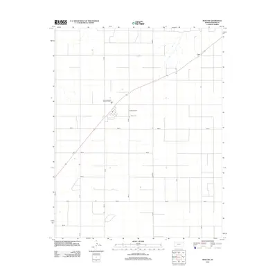
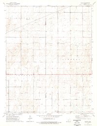
2012 Map of Moscow
USGS Topo · Published 2012About this map
Moscow Cem and the small settlement of Cave anchor this high-plains landscape in Stevens County, where the rigid geometry of the section-line road system defines the rural character. This 2012 survey reveals a land organized for agriculture and local infrastructure, evidenced by the extensive grid of numbered routes including 4mi Rd, 7mi Rd, and Road V. The map highlights the essential services and transport hubs that sustain this remote community, from the Brollier Airport to the Moscow Wastewater Treatment Facility. The sparse distribution of named features emphasizes the open, agricultural nature of the region during this period, with most development concentrated along the primary diagonal thoroughfare that connects the scattered dwellings and landmarks of the quadrangle.
Find a feature on this map
14 named features on this map. Tap any name to fly to it.
Don’t see what you’re looking for? This feature index may not catch every label — zoom into the map to look around manually.
Map Details
Editions of this 2012 Moscow Map
This is the sole edition of this map. No revisions or reprints were ever made.
Other maps of this area

1944 · Moscow
USGS Topo · 1:62,500

1945 · Moscow
USGS Topo · 1:62,500

1955 · Dodge City
USGS Topo · 1:250,000

1958 · Dodge City
USGS Topo · 1:250,000

1959 · Dodge City
USGS Topo · 1:250,000

1974 · Hugoton
USGS Topo · 1:24,000
1974 · Wagon Bed Spring
USGS Topo · 1:24,000
1974 · Moscow SE
USGS Topo · 1:24,000
1974 · Moscow
USGS Topo · 1:24,000
1974 · Woods
USGS Topo · 1:24,000