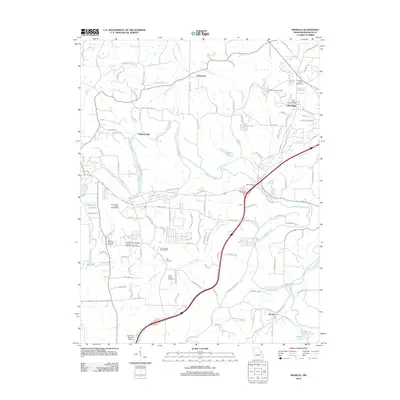
2012 Map of Moselle
USGS Topo · Published 2012About this map
The Bourbeuse River snakes across this Franklin County landscape, creating a dramatic series of loops and bends that define the local geography between Pohlman Mill and the southern settlement of Moselle. This 2012 survey illustrates a region where academic and civil infrastructure, such as East Central College and the Saint Clair Regional Airport, exists alongside deeply rooted local landmarks. Evidence of early settlement patterns remains visible through several rural burial grounds, including the Pleasant Hill Cemetery near Villa Ridge and the Indian Prairie Cemetery situated further south. The drainage network is particularly dense here, with Dubois Creek, Birch Creek, and Browns Branch feeding into the larger river systems. At Villa Ridge, the presence of the Villa Ridge Post Office and several water towers highlights the area's role as a local service hub for the surrounding countryside.
Find a feature on this map
134 named features on this map. Tap any name to fly to it.
Don’t see what you’re looking for? This feature index may not catch every label — zoom into the map to look around manually.
Map Details
Editions of this 2012 Moselle Map
This is the sole edition of this map. No revisions or reprints were ever made.
Other maps of this area

1890 · Hermann
USGS Topo · 1:125,000

1901 · De Soto
USGS Topo · 1:125,000

1903 · O'Fallon
USGS Topo · 1:125,000

1903 · Sullivan
USGS Topo · 1:125,000

1946 · Union
USGS Topo · 1:62,500

1947 · St. Clair
USGS Topo · 1:62,500

1948 · Union
USGS Topo · 1:62,500

1948 · Washington
USGS Topo · 1:62,500

1948 · Augusta
USGS Topo · 1:62,500

1949 · Saint Louis
USGS Topo · 1:250,000