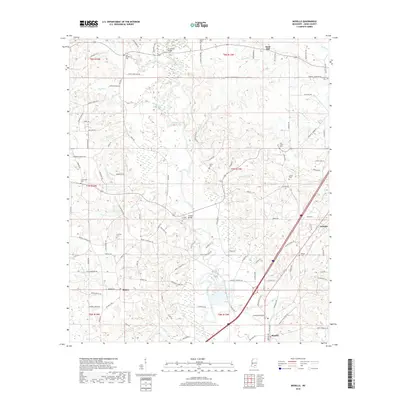
2018 Map of Moselle
USGS Topo · Published 2018About this map
The Leaf River meanders through Jones County, defining the rural landscape around Moselle. This 2018 survey reveals a terrain crisscrossed by numerous waterways, including Oakey Woods Cr, Lowery Cr, and Four Forks Cr, which feed the river basin. For those researching local history, the map provides a comprehensive look at the small settlements of Sand Hill, Tawanta, and Rainey, along with the distribution of family-named landmarks like Cranfords Bridge and Crosby Bridge.
Find a feature on this map
115 named features on this map. Tap any name to fly to it.
Don’t see what you’re looking for? This feature index may not catch every label — zoom into the map to look around manually.
Map Details
Editions of this 2018 Moselle Map
This is the sole edition of this map. No revisions or reprints were ever made.
Other maps of this area

1953 · Hattiesburg
USGS Topo · 1:250,000

1958 · Hattiesburg
USGS Topo · 1:250,000

1963 · Barrontown
USGS Topo · 1:24,000

1964 · Laurel West
USGS Topo · 1:24,000

1964 · Seminary
USGS Topo · 1:24,000

1964 · Ellisville
USGS Topo · 1:24,000

1965 · Hebron
USGS Topo · 1:24,000

1965 · Eastabuchie
USGS Topo · 1:24,000

1965 · Hot Coffee
USGS Topo · 1:24,000

1965 · Moselle
USGS Topo · 1:24,000