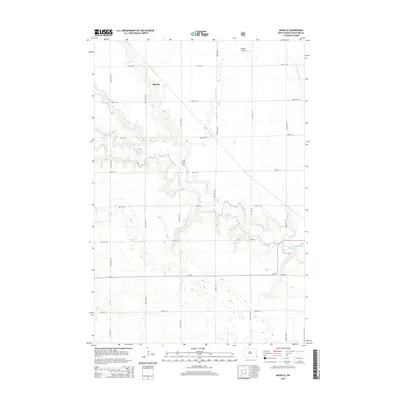
2014 Map of Moselle
USGS Topo · Published 2014About this map
The Wild Rice River meanders across this Richland County landscape, defining the topography of Belford Township with its intricate bends and associated drainage patterns like Elk Cr. This agricultural region is anchored by the small settlement of Moselle, situated along a section line northwest of the river's main course. The map reveals a strict township-and-range grid of local roads, such as 83rd St SE and 159th Ave SE, which structure the rural community. Genealogists and local historians will find the Nulph Cem preserved near the riverbank, providing a specific point of reference for family research in the area. The presence of the Goerger Airport in the northern portion of the quadrangle highlights the intersection of traditional prairie farming with modern regional aviation needs, while S Branch Antelope Cr drains the northeastern corner of the sheet.
Find a feature on this map
21 named features on this map. Tap any name to fly to it.
Don’t see what you’re looking for? This feature index may not catch every label — zoom into the map to look around manually.
Map Details
Editions of this 2014 Moselle Map
This is the sole edition of this map. No revisions or reprints were ever made.
Other maps of this area

1904 · Wahpeton
USGS Topo · 1:125,000

1907 · Wyndmere
USGS Topo · 1:125,000

1953 · Fargo
USGS Topo · 1:250,000

1956 · Fargo
USGS Topo · 1:250,000

1960 · Wyndmere
USGS Topo · 1:24,000

1960 · Mooreton West
USGS Topo · 1:24,000

1960 · Wyndmere SE
USGS Topo · 1:24,000

1964 · Kreiser Lake
USGS Topo · 1:24,000

1964 · Hankinson
USGS Topo · 1:24,000

1964 · Mantador
USGS Topo · 1:24,000