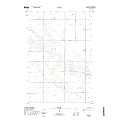
2018 Map of Moselle
USGS Topo · Published 2018About this map
Moselle sits at a historic crossroads in Richland County, where the grid of rural section lines meets the winding course of the Wild Rice River. This part of the North Dakota prairie is defined by its extensive wetland networks and the slow-moving waters of Elk Creek, which drain into the larger river valley. The landscape is primarily agricultural, subdivided by a precise network of section roads including Co Rd 16 and 81st St SE. A point of local genealogical interest is the Nulph Cem, situated near the riverbanks, serving as a quiet marker of the families who settled this fertile river bottom land. The presence of Goerger Airport in the northern reaches of the quadrangle highlights the continued importance of small-scale aviation in supporting the expansive farming operations of the Red River Valley region.
Find a feature on this map
21 named features on this map. Tap any name to fly to it.
Don’t see what you’re looking for? This feature index may not catch every label — zoom into the map to look around manually.
Map Details
Editions of this 2018 Moselle Map
This is the sole edition of this map. No revisions or reprints were ever made.
Other maps of this area

1904 · Wahpeton
USGS Topo · 1:125,000

1907 · Wyndmere
USGS Topo · 1:125,000

1953 · Fargo
USGS Topo · 1:250,000

1956 · Fargo
USGS Topo · 1:250,000

1960 · Wyndmere
USGS Topo · 1:24,000

1960 · Mooreton West
USGS Topo · 1:24,000

1960 · Wyndmere SE
USGS Topo · 1:24,000

1964 · Kreiser Lake
USGS Topo · 1:24,000

1964 · Hankinson
USGS Topo · 1:24,000

1964 · Mantador
USGS Topo · 1:24,000