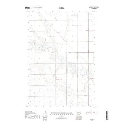
2020 Map of Moselle
USGS Topo · Published 2020About this map
The meandering Wild Rice River dominates this portion of Richland County, creating a complex network of wetlands and oxbows across the plains. Near the center of the sheet, the small settlement of Moselle sits at the junction of the section-line roads that define the rural grid. This 2020 map documents the persistent agricultural landscape of Belford Township, where the drainages of Elk Creek and S Br Antelope Cr cut through the steady rise of the land. Local history is anchored by the Nulph Cem and the Goerger Airport, representing the essential transportation and community landmarks of this prairie region. The intricate hydrography shown here highlights how water management and natural flow patterns continue to shape the land use and farmstead placement in southeastern North Dakota.
Find a feature on this map
20 named features on this map. Tap any name to fly to it.
Don’t see what you’re looking for? This feature index may not catch every label — zoom into the map to look around manually.
Map Details
Editions of this 2020 Moselle Map
This is the sole edition of this map. No revisions or reprints were ever made.
Other maps of this area

1904 · Wahpeton
USGS Topo · 1:125,000

1907 · Wyndmere
USGS Topo · 1:125,000

1953 · Fargo
USGS Topo · 1:250,000

1956 · Fargo
USGS Topo · 1:250,000

1960 · Wyndmere
USGS Topo · 1:24,000

1960 · Mooreton West
USGS Topo · 1:24,000

1960 · Wyndmere SE
USGS Topo · 1:24,000

1964 · Kreiser Lake
USGS Topo · 1:24,000

1964 · Hankinson
USGS Topo · 1:24,000

1964 · Mantador
USGS Topo · 1:24,000