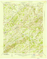
1939 Map of Mosheim
USGS Topo · Published 1939About this map
Mosheim serves as a central hub in this Greene County landscape, situated where the Southern railway intersects with the local road network just before the Second World War. The area is defined by its agrarian and spiritual community life, anchored by numerous country schools and houses of worship. Small settlements such as Midway, Albany, and Marvin are scattered across the terrain, which is drained by the meandering paths of Lick Creek and Little Chucky Creek.
Find a feature on this map
53 named features on this map. Tap any name to fly to it.
Don’t see what you’re looking for? This feature index may not catch every label — zoom into the map to look around manually.
Map Details
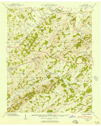
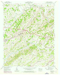
Editions of this 1939 Mosheim Map
3 editions found
Other maps of this area

1883 · Morristown
USGS Topo · 1:125,000

1892 · Greeneville
USGS Topo · 1:125,000

1893 · Morristown
USGS Topo · 1:125,000

1895 · Morristown
USGS Topo · 1:125,000

1896 · Greeneville
USGS Topo · 1:125,000

1904 · Greeneville
USGS Topo · 1:125,000

1935 · Surgoinsville
USGS Topo · 1:48,000

1935 · Baileyton
USGS Topo · 1:24,000

1935 · Rogersville
USGS Topo · 1:48,000

1935 · Parrottsville
USGS Topo · 1:24,000