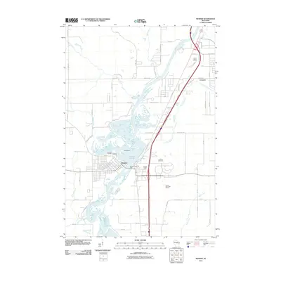
2010 Map of Mosinee
USGS Topo · Published 2010About this map
Mosinee anchors this central Wisconsin landscape, situated along a complex stretch of the Wisconsin River where it meets the Mosinee Flowage. The river's industrial and regulatory role is evidenced by the Mosinee Dam, while the presence of Pine Island and Cemetery Slough indicates the intricate wetland and island geography that characterizes the area north of Lake Du Bay. The settlement patterns here show a mix of established residential grids and newer developments, such as Evergreen to the northeast.
Find a feature on this map
64 named features on this map. Tap any name to fly to it.
Don’t see what you’re looking for? This feature index may not catch every label — zoom into the map to look around manually.
Map Details
Editions of this 2010 Mosinee Map
This is the sole edition of this map. No revisions or reprints were ever made.
Other maps of this area

1899 · Wausau
USGS Topo · 1:125,000

1902 · Wausau
USGS Topo · 1:125,000

1902 · Marathon
USGS Topo · 1:125,000

1953 · Wausau
USGS Topo · 1:48,000

1953 · Marathon
USGS Topo · 1:48,000

1955 · Green Bay
USGS Topo · 1:250,000

1956 · Milladore
USGS Topo · 1:48,000

1956 · Stevens Point
USGS Topo · 1:48,000

1963 · Wausau West
USGS Topo · 1:24,000

1963 · Marathon
USGS Topo · 1:62,500