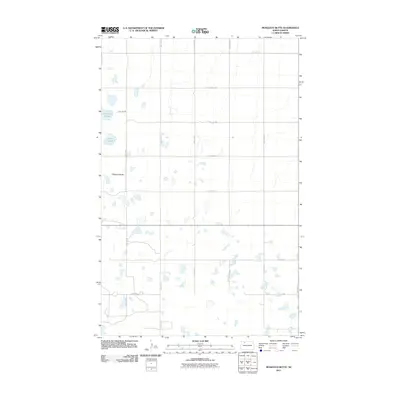
2011 Map of Mosquito Butte
USGS Topo · Published 2011About this map
Mosquito Butte rises as a prominent landmark in this prairie landscape of Ward County, surrounded by the numerous water bodies and depressions characteristic of the North Dakota pothole region. This 2011 survey illustrates a sparse, agricultural settlement pattern where the land is strictly organized by a cardinal grid of gravel roads, such as 366th Ave NW and 72nd Ave NW. Notable water features include Christensen Slough and Lagorin Slough, which stand out among dozens of unnamed seasonal ponds. The map captures the area in the early 21st century, showing how modern section lines and township roads maintain the original cadastral geometry of the High Plains, providing a clear reference for local land ownership and the natural drainage patterns of the rural northern plains.
Find a feature on this map
21 named features on this map. Tap any name to fly to it.
Don’t see what you’re looking for? This feature index may not catch every label — zoom into the map to look around manually.
Map Details
Editions of this 2011 Mosquito Butte Map
This is the sole edition of this map. No revisions or reprints were ever made.
Other maps of this area

1948 · Kenmare
USGS Topo · 1:24,000

1948 · Vanville NE
USGS Topo · 1:24,000

1949 · Mosquito Butte
USGS Topo · 1:24,000

1949 · Niobe
USGS Topo · 1:24,000

1949 · Coulee
USGS Topo · 1:24,000

1950 · Vanville NE
USGS Topo · 1:24,000

1950 · Kenmare
USGS Topo · 1:62,500

1953 · Williston
USGS Topo · 1:250,000

1957 · Williston
USGS Topo · 1:250,000

1978 · Westby Lake
USGS Topo · 1:24,000