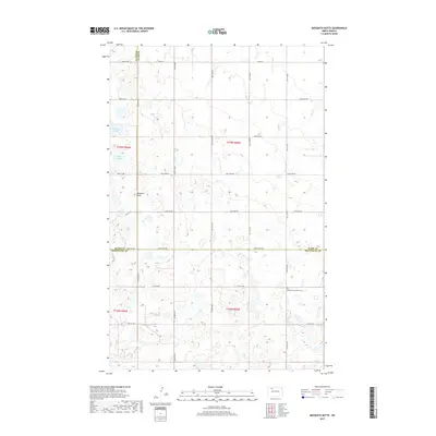
2017 Map of Mosquito Butte
USGS Topo · Published 2017About this map
The tri-county boundary where Burke, Ward, and Mountrail counties meet characterizes this rural North Dakota landscape. This high-plains terrain is defined by its glacial prairie potholes and wetlands, most notably Christensen Slough and Lagorin Slough in the northwest. The presence of Bethlehem Lutheran Cem in the southeast provides a fixed point for genealogical research in an otherwise sparsely populated agricultural region. The landscape's relief is dominated by the namesake Mosquito Butte, a prominent elevation overlooking a strictly gridded network of section-line roads, including CO Hwy 4 and 722nd Ave NW, which illustrate the enduring influence of the Public Land Survey System on the modern regional infrastructure.
Find a feature on this map
35 named features on this map. Tap any name to fly to it.
Don’t see what you’re looking for? This feature index may not catch every label — zoom into the map to look around manually.
Map Details
Editions of this 2017 Mosquito Butte Map
This is the sole edition of this map. No revisions or reprints were ever made.
Other maps of this area

1948 · Kenmare
USGS Topo · 1:24,000

1948 · Vanville NE
USGS Topo · 1:24,000

1949 · Mosquito Butte
USGS Topo · 1:24,000

1949 · Niobe
USGS Topo · 1:24,000

1949 · Coulee
USGS Topo · 1:24,000

1950 · Vanville NE
USGS Topo · 1:24,000

1950 · Kenmare
USGS Topo · 1:62,500

1953 · Williston
USGS Topo · 1:250,000

1957 · Williston
USGS Topo · 1:250,000

1978 · Westby Lake
USGS Topo · 1:24,000