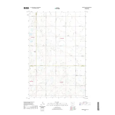
2020 Map of Mosquito Butte
USGS Topo · Published 2020About this map
Mosquito Butte rises as a distinct landmark in this pocket of North Dakota where Burke, Ward, and Mountrail counties meet. The landscape is defined by the prairie pothole region's characteristic wetlands, with numerous unnamed seasonal ponds surrounding larger permanent features like Christensen Slough and Lagorin Slough. This modern survey illustrates the persistent rural infrastructure of the High Plains, where a precise grid of township roads—including 83rd St NW and 590th St NW—sections off the land for agricultural use. Spiritual and community history is anchored by the presence of Our Saviors Lutheran Cem and Bethlehem Lutheran Cem, which serve as quiet markers of the Scandinavian heritage and early settlements that shaped this portion of the northern plains.
Find a feature on this map
36 named features on this map. Tap any name to fly to it.
Don’t see what you’re looking for? This feature index may not catch every label — zoom into the map to look around manually.
Map Details
Editions of this 2020 Mosquito Butte Map
This is the sole edition of this map. No revisions or reprints were ever made.
Other maps of this area

1948 · Kenmare
USGS Topo · 1:24,000

1948 · Vanville NE
USGS Topo · 1:24,000

1949 · Mosquito Butte
USGS Topo · 1:24,000

1949 · Niobe
USGS Topo · 1:24,000

1949 · Coulee
USGS Topo · 1:24,000

1950 · Vanville NE
USGS Topo · 1:24,000

1950 · Kenmare
USGS Topo · 1:62,500

1953 · Williston
USGS Topo · 1:250,000

1957 · Williston
USGS Topo · 1:250,000

1978 · Westby Lake
USGS Topo · 1:24,000