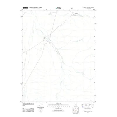
2012 Map of Mosquito Creek
USGS Topo · Published 2012About this map
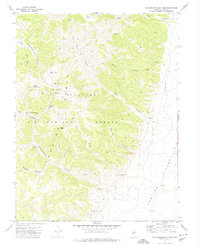
Mosquito Creek Ranch and Morgan Ranch represent the primary human imprint on this high-desert landscape in central Nye County. The terrain is defined by the complex drainage of Mosquito Creek, which is fed by the North Fork Mosquito Creek and South Fork Mosquito Creek as they descend from higher elevations. In the northern reaches of the quadrangle, Morgan Creek flows through the area of Cottonwood Canyon, while Johnson Hole and Pine Creek mark the northwestern corner.
Find a feature on this map
13 named features on this map. Tap any name to fly to it.
Don’t see what you’re looking for? This feature index may not catch every label — zoom into the map to look around manually.
Map Details
Editions of this 2012 Mosquito Creek Map
This is the sole edition of this map. No revisions or reprints were ever made.
Other maps of this area

1956 · Tonopah
USGS Topo · 1:250,000

1959 · Tonopah
USGS Topo · 1:250,000

1962 · Tonopah
USGS Topo · 1:250,000

1971 · Corcoran Canyon
USGS Topo · 1:24,000

1971 · Barley Creek
USGS Topo · 1:24,000

1971 · Mosquito Creek
USGS Topo · 1:24,000
1971 · Green Monster Canyon
USGS Topo · 1:24,000
1971 · Dobbin Summit
USGS Topo · 1:24,000
1971 · Box Spring
USGS Topo · 1:24,000
1971 · Northumberland Pass
USGS Topo · 1:24,000