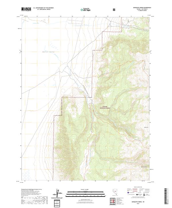
2021 Map of Mosquito Creek
USGS Topo · Published 2021About this map
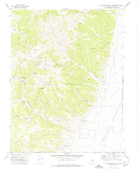
Toiyabe National Forest dominates this high-altitude landscape in central Nevada, where the steep slopes of the Monitor Range rise sharply out of the flat expanse of Monitor Valley. This 2021 survey illustrates a remote wilderness managed for conservation and recreation, characterized by seasonal watercourses like Mosquito Cr and its tributaries. The terrain transitions from the valley floor into the high elevations of Table Mtn, with rugged features like Cottonwood Canyon and Johnson Hole providing natural landmarks. A network of primitive trails, including the North Fork Mosquito Creek Trl and South Fork Mosquito Creek Trl, trace the drainages through the national forest, while the Natl Forest Develop Road 096 Rd serves as the primary artery for access into this high-desert backcountry.
Find a feature on this map
22 named features on this map. Tap any name to fly to it.
Don’t see what you’re looking for? This feature index may not catch every label — zoom into the map to look around manually.
Map Details
Editions of this 2021 Mosquito Creek Map
This is the sole edition of this map. No revisions or reprints were ever made.
Other maps of this area

1956 · Tonopah
USGS Topo · 1:250,000

1959 · Tonopah
USGS Topo · 1:250,000

1962 · Tonopah
USGS Topo · 1:250,000

1971 · Corcoran Canyon
USGS Topo · 1:24,000

1971 · Barley Creek
USGS Topo · 1:24,000

1971 · Mosquito Creek
USGS Topo · 1:24,000
1971 · Green Monster Canyon
USGS Topo · 1:24,000
1971 · Dobbin Summit
USGS Topo · 1:24,000
1971 · Box Spring
USGS Topo · 1:24,000
1971 · Northumberland Pass
USGS Topo · 1:24,000