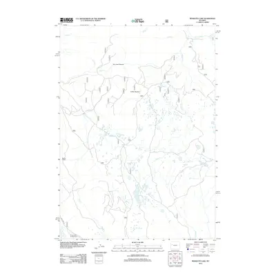
2012 Map of Mosquito Lake
USGS Topo · Published 2012About this map
Park Creek Meadow and Buffalo Meadow dominate this high-elevation landscape within Fremont County. The terrain is defined by a complex network of alpine drainage systems, including the headwaters of Heifer Cr, Pelton Cr, and Raspberry Cr. In the southwestern corner, the Kinky Creek Divide Airport serves as a notable landmark of aviation infrastructure in a largely undeveloped area, accessible by Kinky Creek Rd. The namesake Mosquito Lake sits centrally among numerous unnamed ponds and glacial depressions. This 2012 survey illustrates a region largely shaped by its water and topography, from the heights of Bacon Ridge to the low-lying wetlands that feed into Wagon Cr. The map preserves the specific Forest Service road designations like Rd 263 that provide the only terrestrial links through this mountain environment.
Find a feature on this map
37 named features on this map. Tap any name to fly to it.
Don’t see what you’re looking for? This feature index may not catch every label — zoom into the map to look around manually.
Map Details
Editions of this 2012 Mosquito Lake Map
This is the sole edition of this map. No revisions or reprints were ever made.
Other maps of this area

1902 · Mt Leidy
USGS Topo · 1:125,000

1905 · Younts Peak
USGS Topo · 1:125,000

1907 · Younts Peak
USGS Topo · 1:125,000

1907 · Gros Ventre
USGS Topo · 1:125,000

1909 · Fremont Peak
USGS Topo · 1:125,000

1910 · Gros Ventre
USGS Topo · 1:125,000

1955 · Driggs
USGS Topo · 1:250,000

1955 · Thermopolis
USGS Topo · 1:250,000

1956 · Fish Lake
USGS Topo · 1:24,000

1958 · Driggs
USGS Topo · 1:250,000