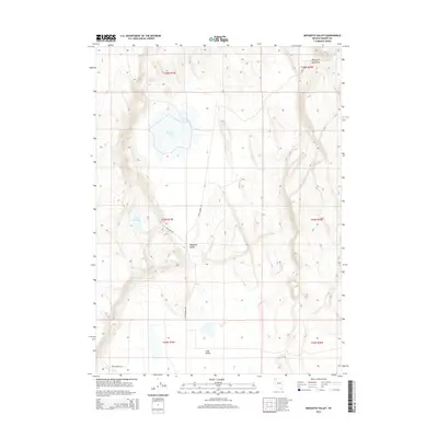
2015 Map of Mosquito Valley
USGS Topo · Published 2015About this map
Mosquito Valley defines the high-desert geography of this corner of Washoe County, where seasonal water sources and ranching infrastructure shape the landscape. The northern portion of the map is dominated by the ephemeral Mosquito Lake, situated below the slopes of Mosquito Mountain. This area reveals the essential role of water management in a dry climate, with features like Gravelly Spring and the Hill Reservoir providing crucial points of interest for those studying the local ecology or land use history.
Find a feature on this map
15 named features on this map. Tap any name to fly to it.
Don’t see what you’re looking for? This feature index may not catch every label — zoom into the map to look around manually.
Map Details
Editions of this 2015 Mosquito Valley Map
This is the sole edition of this map. No revisions or reprints were ever made.
Other maps of this area

1889 · Long Valley
USGS Topo · 1:250,000

1954 · Vya
USGS Topo · 1:250,000

1958 · Vya
USGS Topo · 1:250,000

1962 · Vya
USGS Topo · 1:250,000
1966 · Barrel Springs
USGS Topo · 1:24,000

1966 · Massacre Lake NW
USGS Topo · 1:24,000
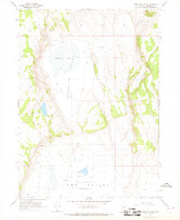
1966 · Mosquito Valley
USGS Topo · 1:24,000
1966 · Little Coleman Canyon
USGS Topo · 1:24,000
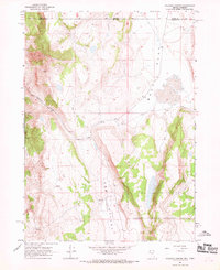
1966 · Coleman Canyon
USGS Topo · 1:24,000
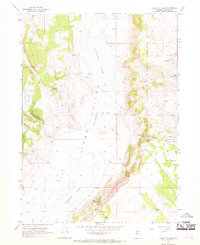
1966 · Calcutta Lake
USGS Topo · 1:24,000