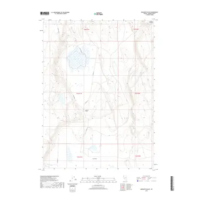
2018 Map of Mosquito Valley
USGS Topo · Published 2018About this map
Mosquito Lake sits at the center of this remote high-desert landscape in northern Washoe County, where seasonal waters and springs dictate the layout of the land. The topography is defined by the broad depressions of Mosquito Valley and Long Valley, shadowed to the northeast by the heights of Mosquito Mountain. A network of unpaved tracks, including Ft Bidwell Rd, Barrel Springs Rd, and Cow Camp Rd, provides the primary movement across these basins. The presence of Gravelly Spring and the ephemeral drainage of Berrey Brook highlights the critical water sources that have supported ranching and transit in this arid corner of Nevada for generations.
Find a feature on this map
15 named features on this map. Tap any name to fly to it.
Don’t see what you’re looking for? This feature index may not catch every label — zoom into the map to look around manually.
Map Details
Editions of this 2018 Mosquito Valley Map
This is the sole edition of this map. No revisions or reprints were ever made.
Other maps of this area

1889 · Long Valley
USGS Topo · 1:250,000

1954 · Vya
USGS Topo · 1:250,000

1958 · Vya
USGS Topo · 1:250,000

1962 · Vya
USGS Topo · 1:250,000
1966 · Barrel Springs
USGS Topo · 1:24,000

1966 · Massacre Lake NW
USGS Topo · 1:24,000
1966 · Mosquito Valley
USGS Topo · 1:24,000
1966 · Little Coleman Canyon
USGS Topo · 1:24,000
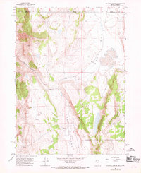
1966 · Coleman Canyon
USGS Topo · 1:24,000
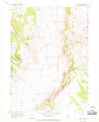
1966 · Calcutta Lake
USGS Topo · 1:24,000