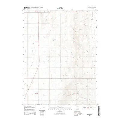
2014 Map of Moss Creek
USGS Topo · Published 2014About this map
The Shoshone Range dominates the eastern half of this terrain, where steep-sided canyons and high-altitude springs define the high-desert landscape. Evidence of the region’s water management and livestock history is visible through named landmarks like Lake Spring and Cottonwood Spring, located near the headwaters of Cottonwood Cr. These seasonal drainages flow westward toward the Reese River, which skirts the western edge of the quadrangle.
Find a feature on this map
16 named features on this map. Tap any name to fly to it.
Don’t see what you’re looking for? This feature index may not catch every label — zoom into the map to look around manually.
Map Details
Editions of this 2014 Moss Creek Map
This is the sole edition of this map. No revisions or reprints were ever made.
Other maps of this area

1932 · Sonoma Range
USGS Topo · 1:250,000

1939 · Sonoma Range
USGS Topo · 1:250,000

1949 · Mt. Lewis
USGS Topo · 1:62,500

1950 · Mt. Lewis
USGS Topo · 1:62,500

1955 · Winnemucca
USGS Topo · 1:250,000

1958 · Winnemucca
USGS Topo · 1:250,000

1961 · McCoy
USGS Topo · 1:62,500

1961 · The Cedars
USGS Topo · 1:62,500

1962 · Winnemucca
USGS Topo · 1:250,000

1962 · Carico Lake
USGS Topo · 1:62,500