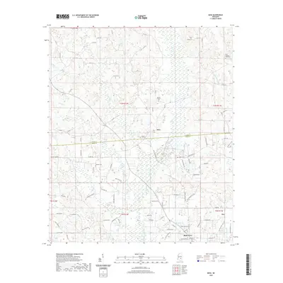
2020 Map of Moss
USGS Topo · Published 2020About this map
Tallahala Creek and its tributary Cypress Cr dominate the drainage of this East Mississippi landscape, where the rural settlements of Moss, Hoy, and Shady Grove are positioned amidst a network of country roads. The map reveals a high density of family and community burial grounds, including the Graham Cem, Welborn Cem, and County Line Cem, which sits directly on the boundary between Jasper Co and Jones Co. The presence of the Union Seminary Baptist Cem in the northeastern corner suggests long-standing religious centers that anchored these communities. For researchers, the detailed naming of local routes like Azzie Pitts Rd and Harlon Matthews Rd provides a specific look at the late 20th-century road names and property associations in this part of the Piney Woods region.
Find a feature on this map
100 named features on this map. Tap any name to fly to it.
Don’t see what you’re looking for? This feature index may not catch every label — zoom into the map to look around manually.
Map Details
Editions of this 2020 Moss Map
This is the sole edition of this map. No revisions or reprints were ever made.
Other maps of this area

1953 · Hattiesburg
USGS Topo · 1:250,000

1958 · Hattiesburg
USGS Topo · 1:250,000

1963 · Waldrup
USGS Topo · 1:24,000

1964 · Moss
USGS Topo · 1:24,000

1964 · Sandersville
USGS Topo · 1:24,000

1964 · Laurel East
USGS Topo · 1:24,000

1964 · Laurel West
USGS Topo · 1:24,000

1964 · Lake Como
USGS Topo · 1:24,000

1965 · Hebron
USGS Topo · 1:24,000

1974 · Soso
USGS Topo · 1:24,000