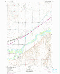
1956 Map of Mossmain
USGS Topo · Published 1993About this map
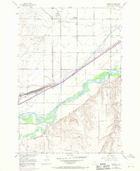
The confluence of the Yellowstone River and the Clarks Fork Yellowstone River dominates this landscape west of Billings, where irrigation and rail infrastructure define the agricultural economy. Centered on Mossmain, the map shows a vital transportation junction where the Northern Pacific, Chicago Burlington and Quincy, and Great Northern railroads converge. This 1956 survey, with 1969 revisions, documents a complex network of water management, including the Billings Bench Water Association Canal, Big Ditch, and Canyon Creek Ditch, which transformed the prairie into productive farmland. Smaller settlements like Hesper and Yegen appear alongside essential community landmarks such as the Elder Grove School. To the south, the terrain shifts away from the river valley into the broken ground marked by Duck Creek and the Duck Creek Telephone Line, illustrating the transition from the irrigated valley floor to the higher, arid ranching country.
Find a feature on this map
32 named features on this map. Tap any name to fly to it.
Don’t see what you’re looking for? This feature index may not catch every label — zoom into the map to look around manually.
Map Details
Editions of this 1956 Mossmain Map
3 editions found
Other maps of this area

1954 · Billings
USGS Topo · 1:250,000

1956 · Rimrock
USGS Topo · 1:24,000

1956 · Silesia
USGS Topo · 1:24,000

1956 · Two Pine School
USGS Topo · 1:24,000

1956 · Laurel
USGS Topo · 1:24,000

1956 · Yegen
USGS Topo · 1:24,000

1956 · Mossmain
USGS Topo · 1:24,000

1957 · Billings
USGS Topo · 1:250,000

1957 · Billings West
USGS Topo · 1:24,000

1958 · Billings
USGS Topo · 1:250,000