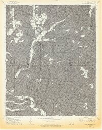
1973 Map of Moten Mountain
USGS Topo · Published 1974About this map
Bell and Oak Ridge stand as small focal points within this dissected highland landscape on the border of Adair and Sequoyah counties. The terrain is defined by a dense network of hollows and ridges, with the waters of Lee Creek and Little Lee Creek carving deep paths through the interior. Named for the prominent Moten Mountain at its center, the area features numerous landmarks with family and local names, including John Watie Hollow, White Van Mountain, and Stuart Mountain.
Find a feature on this map
35 named features on this map. Tap any name to fly to it.
Don’t see what you’re looking for? This feature index may not catch every label — zoom into the map to look around manually.
Map Details
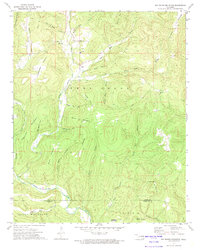
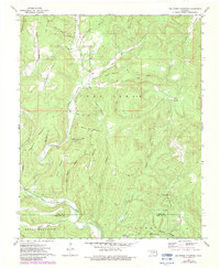
Editions of this 1973 Moten Mountain Map
3 editions found
Other maps of this area

1898 · Winslow #3
USGS Topo · 1:62,500

1898 · Tahlequah
USGS Topo · 1:125,000

1898 · Winslow
USGS Topo · 1:125,000

1901 · Winslow
USGS Topo · 1:125,000

1901 · Tahlequah
USGS Topo · 1:125,000

1905 · Tahlequah
USGS Topo · 1:125,000

1946 · Fort Smith
USGS Topo · 1:250,000

1965 · Fort Smith
USGS Topo · 1:250,000

1967 · Fort Smith
USGS Topo · 1:250,000
1969 · Uniontown
USGS Topo · 1:24,000