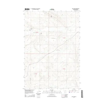
2014 Map of Mott Creek
USGS Topo · Published 2014About this map
Wild Horse Ridge stands as a prominent elevation in this high plains landscape of Big Horn County, where a network of seasonal drainages and coulees defines the local geography. The area's water system consists of Beauvais Cr, Point Cr, Mott Cr, and Muddy Cr, which have carved out distinct terrain features such as Corral Coulee, Bear Coulee, and Horse Coulee. These names suggest a history of ranching and livestock movement through the draws and across the ridges. Transportation across this portion of the Crow Reservation is anchored by the Pryor-Saint Xavier Rd and Hwy 91, which intersect the natural topography. The map's township and range lines, including t4s r30e and t5s r29e, provide the primary structure for land management in this sparsely settled region of southern Montana.
Find a feature on this map
16 named features on this map. Tap any name to fly to it.
Don’t see what you’re looking for? This feature index may not catch every label — zoom into the map to look around manually.
Map Details
Editions of this 2014 Mott Creek Map
This is the sole edition of this map. No revisions or reprints were ever made.
Other maps of this area

1893 · Huntley
USGS Topo · 1:125,000

1894 · St. Xavier
USGS Topo · 1:125,000

1894 · Fort Custer
USGS Topo · 1:125,000

1901 · St. Xavier
USGS Topo · 1:125,000

1915 · Spenceville
USGS Topo · 1:31,680

1954 · Billings
USGS Topo · 1:250,000

1954 · Hardin
USGS Topo · 1:250,000

1957 · Hardin
USGS Topo · 1:250,000

1957 · Billings
USGS Topo · 1:250,000

1958 · Billings
USGS Topo · 1:250,000