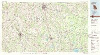
1979 Map of Moultrie
USGS Topo · Published 1980About this map
The Ochlockonee River and Withlacoochee River drain a South Georgia landscape defined by agriculture and aviation during the late 1970s. Larger regional hubs like Moultrie and Tifton anchor a network of smaller communities, including the uniquely named Enigma and the railroad settlement of Ray City. The presence of several regional airstrips, including Henry Tift Myers Airport and the Moody Air Force Auxiliary Field, underscores the area's strategic logistical importance.
Find a feature on this map
70 named features on this map. Tap any name to fly to it.
Don’t see what you’re looking for? This feature index may not catch every label — zoom into the map to look around manually.
Map Details
Editions of this 1979 Moultrie Map
2 editions found

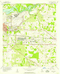
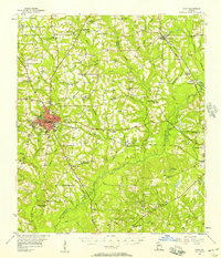
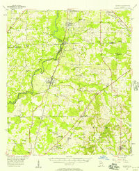
Other maps of this area

1953 · Dothan
USGS Topo · 1:250,000

1953 · Waycross
USGS Topo · 1:250,000

1954 · Dothan
USGS Topo · 1:250,000

1954 · Valdosta
USGS Topo · 1:250,000

1954 · Tallahassee
USGS Topo · 1:250,000

1955 · Dothan
USGS Topo · 1:250,000
1956 · Albany East
USGS Topo · 1:24,000
1956 · Cairo
USGS Topo · 1:62,500
1956 · Baconton
USGS Topo · 1:62,500

1956 · Sylvester
USGS Topo · 1:62,500