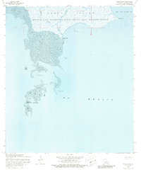
1968 Map of Mound Point
USGS Topo · Published 1988About this map
Marsh Island dominates this coastal survey, serving as a critical sanctuary within the Russell Sage Foundation-Marsh Island State Wildlife Refuge. The landscape is defined by the intricate transition from land to sea, where tidal drainage such as West Branch and East Branch carve through the wetlands. This 1968 revision captures the fragile nature of the Iberia Parish shoreline before significant modern erosion, detailing the extensive Shell Reefs that once buffered the coast from the Gulf of Mexico. To the south, the Shell Keys National Wildlife Refuge marks a string of isolated landmarks, including the prominent Shell Keys. The mapping includes bathymetric data around Mound Point and the entrance to Oyster Bayou, providing a record of the shifting seafloor and coastal geometry during the late 1960s.
Find a feature on this map
14 named features on this map. Tap any name to fly to it.
Don’t see what you’re looking for? This feature index may not catch every label — zoom into the map to look around manually.
Map Details
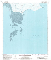
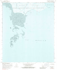
Editions of this 1968 Mound Point Map
3 editions found
Other maps of this area

1932 · Bayou Blanc
USGS Topo · 1:31,680

1937 · Bayou Sale
USGS Topo · 1:62,500

1945 · New Orleans
USGS Topo · 1:250,000
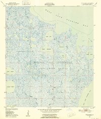
1948 · Bayou Blanc
USGS Topo · 1:24,000

1949 · Bayou Lucien
USGS Topo · 1:31,680
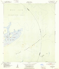
1951 · Lake Point
USGS Topo · 1:24,000
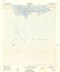
1951 · Mound Point
USGS Topo · 1:24,000
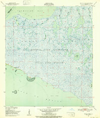
1951 · Bayou Lucien
USGS Topo · 1:24,000

1957 · Bayou Sale
USGS Topo · 1:62,500

1963 · New Orleans
USGS Topo · 1:250,000