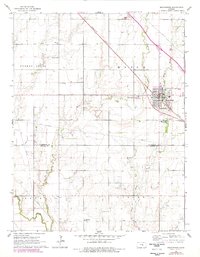
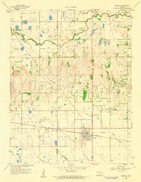
1965 Map of Moundridge
USGS Topo · Published 1978About this map
Moundridge sits at the intersection of prairie agriculture and the Missouri Pacific railroad in this mid-century survey of the Kansas landscape. The settlement pattern is defined by a dense network of country institutions, including Eden Ch and the Cloverleaf Sch, reflecting a well-established rural community before modern consolidation. The terrain, characterized by the Turkey Creek Mound, is drained by Turkey Creek, Sand Creek, and Black Kettle Creek.
Find a feature on this map
20 named features on this map. Tap any name to fly to it.
Don’t see what you’re looking for? This feature index may not catch every label — zoom into the map to look around manually.
Map Details
Editions of this 1965 Moundridge Map
2 editions found
Other maps of this area

1889 · Newton
USGS Topo · 1:125,000

1891 · Hutchinson
USGS Topo · 1:125,000

1893 · Hutchinson
USGS Topo · 1:125,000

1894 · Newton
USGS Topo · 1:125,000

1955 · Hutchinson
USGS Topo · 1:250,000

1959 · Hutchinson
USGS Topo · 1:250,000
1959 · Zimmerdale
USGS Topo · 1:24,000
1959 · Halstead
USGS Topo · 1:24,000
1959 · Burrton
USGS Topo · 1:24,000

1965 · Mc Pherson South
USGS Topo · 1:24,000