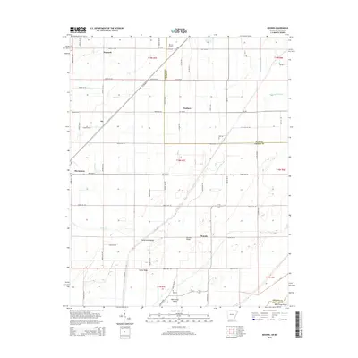
2014 Map of Mounds
USGS Topo · Published 2014About this map
The town of Marmaduke and its rural surrounds in Greene County are defined by a complex network of drainage ditches and ancient ridge formations that rise above the flat alluvial plain. Early 21st-century infrastructure follows the grain of the land, with Us-49 cutting diagonally across the landscape toward Dixie, passing through the small community of Jay. The hydrography here is dominated by the wandering Cottonwood Slough and White Walnut Creek, while topographic elevations like Horse Island Ridge and Brushy Ridge provide a glimpse into the underlying geological history of the St. Francis Basin.
Find a feature on this map
75 named features on this map. Tap any name to fly to it.
Don’t see what you’re looking for? This feature index may not catch every label — zoom into the map to look around manually.
Map Details
Editions of this 2014 Mounds Map
This is the sole edition of this map. No revisions or reprints were ever made.
Other maps of this area

1934 · Kennett
USGS Topo · 1:62,500

1935 · Rector
USGS Topo · 1:62,500

1940 · Marmaduke
USGS Topo · 1:62,500

1940 · Kennett
USGS Topo · 1:62,500

1940 · Piggott
USGS Topo · 1:62,500

1956 · Kennett
USGS Topo · 1:62,500

1956 · Piggott
USGS Topo · 1:62,500

1957 · Poplar Bluff
USGS Topo · 1:250,000

1958 · Marmaduke
USGS Topo · 1:62,500

1958 · Rector
USGS Topo · 1:62,500