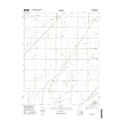
2017 Map of Mounds
USGS Topo · Published 2017About this map
The borderland of Greene and Clay Counties comes into focus through this survey of the Arkansas and Missouri line. This landscape is defined by its drainage and elevated ridges, where agricultural life is organized around features like Horse Island Ridge and Brushy Ridge. The small settlement of Mounds and the nearby Reddick Cem provide specific points of interest for genealogists tracking family roots in this corner of Northeast Arkansas.
Find a feature on this map
72 named features on this map. Tap any name to fly to it.
Don’t see what you’re looking for? This feature index may not catch every label — zoom into the map to look around manually.
Map Details
Editions of this 2017 Mounds Map
This is the sole edition of this map. No revisions or reprints were ever made.
Other maps of this area

1934 · Kennett
USGS Topo · 1:62,500

1935 · Rector
USGS Topo · 1:62,500

1940 · Marmaduke
USGS Topo · 1:62,500

1940 · Kennett
USGS Topo · 1:62,500

1940 · Piggott
USGS Topo · 1:62,500

1956 · Kennett
USGS Topo · 1:62,500

1956 · Piggott
USGS Topo · 1:62,500

1957 · Poplar Bluff
USGS Topo · 1:250,000

1958 · Marmaduke
USGS Topo · 1:62,500

1958 · Rector
USGS Topo · 1:62,500