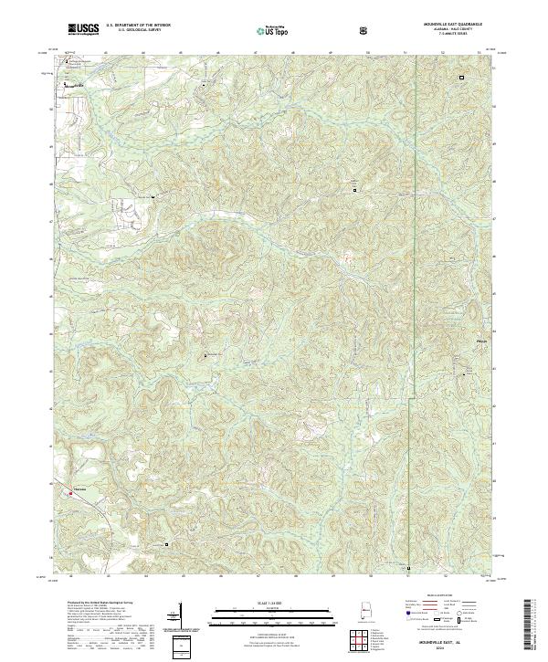
2024 Map of Moundville East
USGS Topo · Published 2024About this map
Carthage Presbyterian Church and the adjacent Carthage Cem stand near the northern edge of this Hale County landscape, marking the historic center of Moundville. The terrain is defined by a dense network of creek valleys and ridges, with Elliotts Creek and Gabriel Creek carving through the countryside. This modern survey reflects the enduring rural character of the region, where family names and community landmarks are preserved through numerous burial grounds like Oak Hill Cem, Woods Cem, and Lewis Cem.
Find a feature on this map
54 named features on this map. Tap any name to fly to it.
Don’t see what you’re looking for? This feature index may not catch every label — zoom into the map to look around manually.
Map Details
Editions of this 2024 Moundville East Map
This is the sole edition of this map. No revisions or reprints were ever made.
Other maps of this area

1899 · Brookwood
USGS Topo · 1:125,000

1924 · Tuscaloosa
USGS Topo · 1:62,500

1926 · Tuscaloosa
USGS Topo · 1:62,500

1931 · Cottondale
USGS Topo · 1:48,000

1934 · Cottondale
USGS Topo · 1:62,500

1953 · Montgomery
USGS Topo · 1:250,000

1953 · Birmingham
USGS Topo · 1:250,000

1956 · Birmingham
USGS Topo · 1:250,000

1956 · Montgomery
USGS Topo · 1:250,000

1957 · Birmingham
USGS Topo · 1:250,000