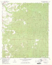
1980 Map of Moundville East
USGS Topo · Published 1980About this map
Moundville sits at the northwestern edge of this landscape, where the topography transitions into the wooded uplands of the Talladega National Forest. This 1980 survey reveals a rural Hale County settlement pattern defined by isolated churches and family-named cemeteries that anchor small communities. Waterways like Elliotts Creek and Millians Creek carve through the terrain, dictating the placement of early homesteads and road networks.
Find a feature on this map
24 named features on this map. Tap any name to fly to it.
Don’t see what you’re looking for? This feature index may not catch every label — zoom into the map to look around manually.
Map Details
Editions of this 1980 Moundville East Map
2 editions found
Other maps of this area

1899 · Brookwood
USGS Topo · 1:125,000

1924 · Tuscaloosa
USGS Topo · 1:62,500

1926 · Tuscaloosa
USGS Topo · 1:62,500

1931 · Cottondale
USGS Topo · 1:48,000

1934 · Cottondale
USGS Topo · 1:62,500

1953 · Montgomery
USGS Topo · 1:250,000

1953 · Birmingham
USGS Topo · 1:250,000

1956 · Birmingham
USGS Topo · 1:250,000

1956 · Montgomery
USGS Topo · 1:250,000

1957 · Birmingham
USGS Topo · 1:250,000