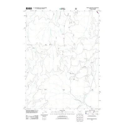
2011 Map of Mount Ashland
USGS Topo · Published 2011About this map
Mount Ashland dominates the high-elevation landscape of the Siskiyou Mountains along the Oregon-California border, serving as a focal point for recreation and alpine hydrology. This early 21st-century record details the Mount Ashland Ski Area and the Grouse Gap Shelter situated near the summit, while the surrounding slopes are drained by the West Fork Ashland Creek and Neil Creek. The map documents the scattered settlements and water sources of the southern Siskiyou foothills, including Colestin and Cole near the state line. Extensive forested tracts within the Rogue River National Frst are interspersed with curious topographical markers like Mudusa Flat and Virgin Flat, illustrating the diverse timber and watershed lands that define this section of the Cascade Range. Genealogists and historians can trace old access routes such as Hilt Mill Creek Rd and the looping path of Gregory Loop as they wind through the timberlands.
Find a feature on this map
36 named features on this map. Tap any name to fly to it.
Don’t see what you’re looking for? This feature index may not catch every label — zoom into the map to look around manually.
Map Details
Editions of this 2011 Mount Ashland Map
This is the sole edition of this map. No revisions or reprints were ever made.
Other maps of this area

1886 · Shasta
USGS Topo · 1:250,000

1891 · Ashland
USGS Topo · 1:250,000

1893 · Ashland
USGS Topo · 1:250,000

1894 · Shasta
USGS Topo · 1:250,000

1897 · Ashland
USGS Topo · 1:250,000

1932 · Yreka
USGS Topo · 1:96,000

1938 · Medford
USGS Topo · 1:125,000

1939 · Yreka
USGS Topo · 1:125,000

1948 · Weed
USGS Topo · 1:250,000

1950 · Weed
USGS Topo · 1:250,000