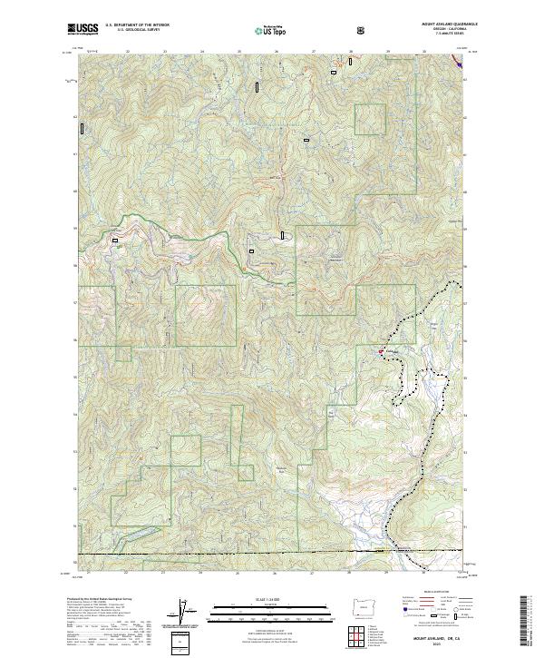
2023 Map of Mount Ashland
USGS Topo · Published 2023About this map
Mt Ashland anchors this modern survey of the rugged heights along the Oregon-California border, where the Siskiyou Mountains divide the landscape. The map details a complex network of recreation and transportation corridors, including the Pacific Crest National Scenic Trl and a specialized cluster of winter routes like the Bull Gap-Nordic Trl and Summit Nordic Trl. These paths wind through the high-elevation terrain of the Rogue River National Forest and Klamath National Forest. At lower elevations to the southeast, the small settlement of Colestin sits near the headwaters of Cottonwood Creek. The geography here is marked by distinct seasonal water features like Chocolate Falls and numerous named drainages such as Bear Gulch and Quartz Creek, reflecting a land shaped by steep relief and protected wilderness within the Cascade-Siskiyou National Monument.
Find a feature on this map
51 named features on this map. Tap any name to fly to it.
Don’t see what you’re looking for? This feature index may not catch every label — zoom into the map to look around manually.
Map Details
Editions of this 2023 Mount Ashland Map
This is the sole edition of this map. No revisions or reprints were ever made.
Other maps of this area

1886 · Shasta
USGS Topo · 1:250,000

1891 · Ashland
USGS Topo · 1:250,000

1893 · Ashland
USGS Topo · 1:250,000

1894 · Shasta
USGS Topo · 1:250,000

1897 · Ashland
USGS Topo · 1:250,000

1932 · Yreka
USGS Topo · 1:96,000

1938 · Medford
USGS Topo · 1:125,000

1939 · Yreka
USGS Topo · 1:125,000

1948 · Weed
USGS Topo · 1:250,000

1950 · Weed
USGS Topo · 1:250,000