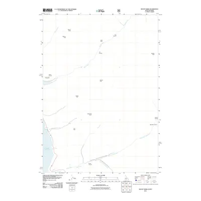
2011 Map of Mount Baird
USGS Topo · Published 2011About this map
Mount Baird and Elkhorn Peak dominate this high-elevation landscape in the Caribou-Targhee National Forest area during the early 21st century. The map illustrates a complex drainage system where Little Elk Creek and Big Elk Creek flow toward the southwestern corner, feeding into the Palisades Reservior. This topography is defined by its deep vertical relief, characterized by features like Box Canyon, Hells Hole, and Skunk Canyon, which suggest a landscape shaped by significant glacial or fluvial erosion.
Find a feature on this map
27 named features on this map. Tap any name to fly to it.
Don’t see what you’re looking for? This feature index may not catch every label — zoom into the map to look around manually.
Map Details
Editions of this 2011 Mount Baird Map
This is the sole edition of this map. No revisions or reprints were ever made.
Other maps of this area

1931 · Jackson
USGS Topo · 1:125,000

1932 · Irwin
USGS Topo · 1:96,000

1935 · Irwin
USGS Topo · 1:125,000

1935 · Jackson
USGS Topo · 1:125,000

1955 · Driggs
USGS Topo · 1:250,000

1958 · Driggs
USGS Topo · 1:250,000

1962 · Driggs
USGS Topo · 1:250,000

1963 · Teton Pass
USGS Topo · 1:24,000

1963 · Observation Peak
USGS Topo · 1:24,000

1963 · Ferry Peak
USGS Topo · 1:24,000