
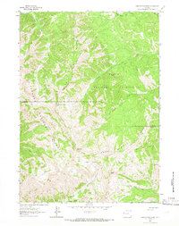
1963 Map of Observation Peak
USGS Topo · Published 1966About this map
The Snake River Range dominates this 1960s survey, defined by its high-altitude topography and the convergence of two major forest divisions. The boundary between the Teton National Forest and Targhee National Forest runs through this terrain, where high peaks like Observation Peak and Indian Peak serve as primary landmarks for navigation. This landscape is a complex network of hydrological and topographical features, including Lake Basin and Big Basin, which feed the many creeks that carve through the mountain passes.
Find a feature on this map
26 named features on this map. Tap any name to fly to it.
Don’t see what you’re looking for? This feature index may not catch every label — zoom into the map to look around manually.
Map Details
Editions of this 1963 Observation Peak Map
2 editions found
Other maps of this area

1931 · Jackson
USGS Topo · 1:125,000

1932 · Irwin
USGS Topo · 1:96,000

1935 · Irwin
USGS Topo · 1:125,000

1935 · Jackson
USGS Topo · 1:125,000

1955 · Driggs
USGS Topo · 1:250,000

1958 · Driggs
USGS Topo · 1:250,000

1962 · Driggs
USGS Topo · 1:250,000

1963 · Munger Mountain
USGS Topo · 1:24,000

1963 · Jackson
USGS Topo · 1:24,000

1963 · Teton Pass
USGS Topo · 1:24,000