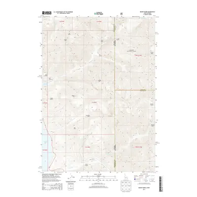
2013 Map of Mount Baird
USGS Topo · Published 2013About this map
Mt Baird and Elkhorn Peak dominate this high-elevation corner of the Targhee National Forest, where the Idaho-Wyoming state line traverses a series of steep drainages and alpine summits. The southwestern portion of the map covers the eastern shore of the Palisades Reservoir, a significant water feature that transformed the Snake River valley. The landscape is defined by deep incisions like Booth Canyon and Dry Canyon, which funnel seasonal runoff toward the reservoir. Recreation and access are concentrated around the Big Elk Creek Campground and the Indian Creek Rd, providing a contrast to the trackless terrain found near Needle Peak and the high Quaker Flat. This 2013 survey illustrates the modern boundaries of four counties—Bonneville, Teton, and Lincoln—meeting at this tri-state intersection of public lands.
Find a feature on this map
37 named features on this map. Tap any name to fly to it.
Don’t see what you’re looking for? This feature index may not catch every label — zoom into the map to look around manually.
Map Details
Editions of this 2013 Mount Baird Map
This is the sole edition of this map. No revisions or reprints were ever made.
Other maps of this area

1931 · Jackson
USGS Topo · 1:125,000

1932 · Irwin
USGS Topo · 1:96,000

1935 · Irwin
USGS Topo · 1:125,000

1935 · Jackson
USGS Topo · 1:125,000

1955 · Driggs
USGS Topo · 1:250,000

1958 · Driggs
USGS Topo · 1:250,000

1962 · Driggs
USGS Topo · 1:250,000

1963 · Teton Pass
USGS Topo · 1:24,000

1963 · Observation Peak
USGS Topo · 1:24,000

1963 · Ferry Peak
USGS Topo · 1:24,000